


 West Bengal Govt.

 DBT India

 Digital India
 Bhoonidhi

Explore the Geospatial Data & Applications
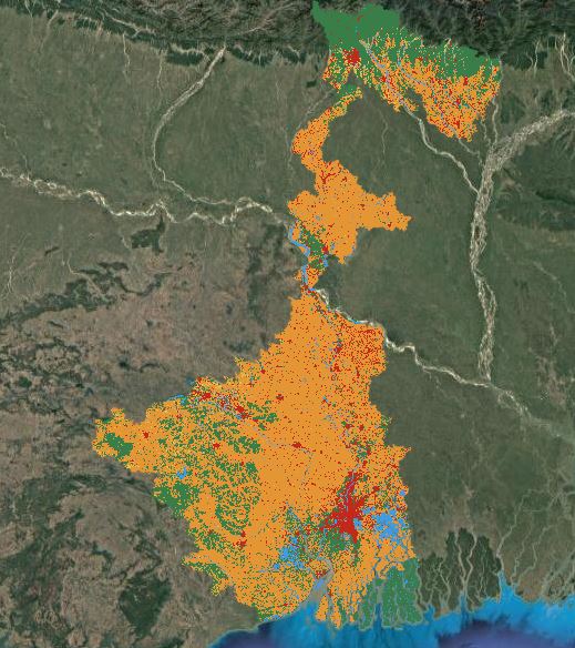
The West Bengal State Geoportal is an advanced web-based knowledge hub that centralizes access to spatial resources developed by state agencies through public funding. It empowers users with tools for data discovery, visualization, analysis, and collaborative sharing.
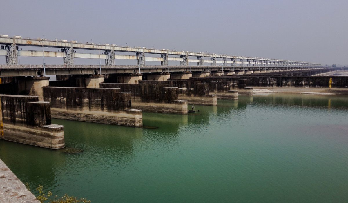
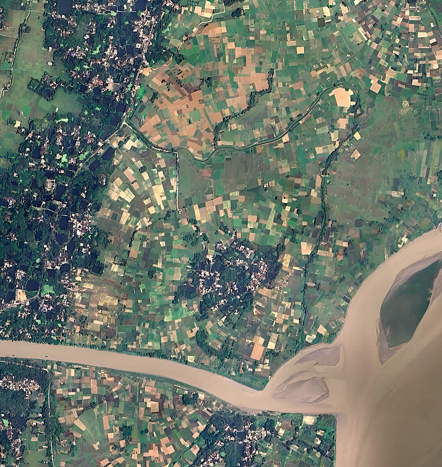
Acting as a comprehensive repository, it provides authoritative geospatial maps and datasets on administrative boundaries, land use, transportation, infrastructure, agriculture, disaster management, forests, and more, catering to diverse user needs efficiently.
Objectives
This initiative aims to make significant strides in the effective use of geospatial data, promoting better decision-making and resource management for the betterment of society.
Data Collation
To systematically gather and standardize geospatial data from various state government organizations onto a unified platform.
User Access
To empower users by enabling them to discover, view, and access essential geospatial information and services.
User-Friendly Interface
To design an intuitive interface that accommodates individuals of all skill levels, ensuring accessibility for everyone.
Optimizing Utilization
To enhance the utilization of geospatial data in decision-making processes across multiple sectors, fostering informed choices.
Data Standards and Compliance
To establish robust data and metadata standards and compliance mechanisms that promote data interoperability, facilitating seamless access and processing from various sources.
Understanding Data Utilization
To cultivate a deep understanding of how to maximize the benefit of geospatial data across diverse sectors.
Reducing Redundancies
To systematically reduce redundancies and eliminate duplicate data creation efforts, streamlining processes.
Capacity Building
To increase awareness of the advantages of geospatial data in decision-making and enhance capacity for optimal use of the geo portal.
Key Features
The Geoportal currently offers a fully operational Web Map Service (WMS), with plans for continual enhancement and feature additions.
-
Web Map Service (WMS)
Enables users to visualize maps seamlessly online.
-
Web Feature Service (WFS)
Allows users to download vector data tailored to their specific requirements.
-
Web Processing Service (WPS)
Empowers users to conduct data analyses with ease.
-
Web Feature Service - Transactional (WFS-T)
Provides users with the ability to upload and edit geospatial data.
-
Metadata Catalogue
Offers an organized inventory of available data along with detailed descriptions.
Benefits
Users will get meticulously prepared maps and comprehensive data tailored to various scales based on their specific requirements.
It allows individuals to easily visualize, access, query, and disseminate spatial data, putting critical information at their fingertips.
The platform proactively supports the systematic development, organization, and deployment of spatial information by consolidating geo-referenced and related resources.
The Geoportal allows users access to geospatial data from multiple sources, effectively reducing waste, inconsistencies, and delays.
It fosters enhanced collaboration among stakeholders, increasing the overall utilization of map services.
By establishing robust data and metadata standards, the platform promotes seamless interoperability among diverse organizations, ensuring a cohesive approach to data sharing and utilization.